
Mapping Your Move: Geographic Information Tools for Career Relocation
Share this
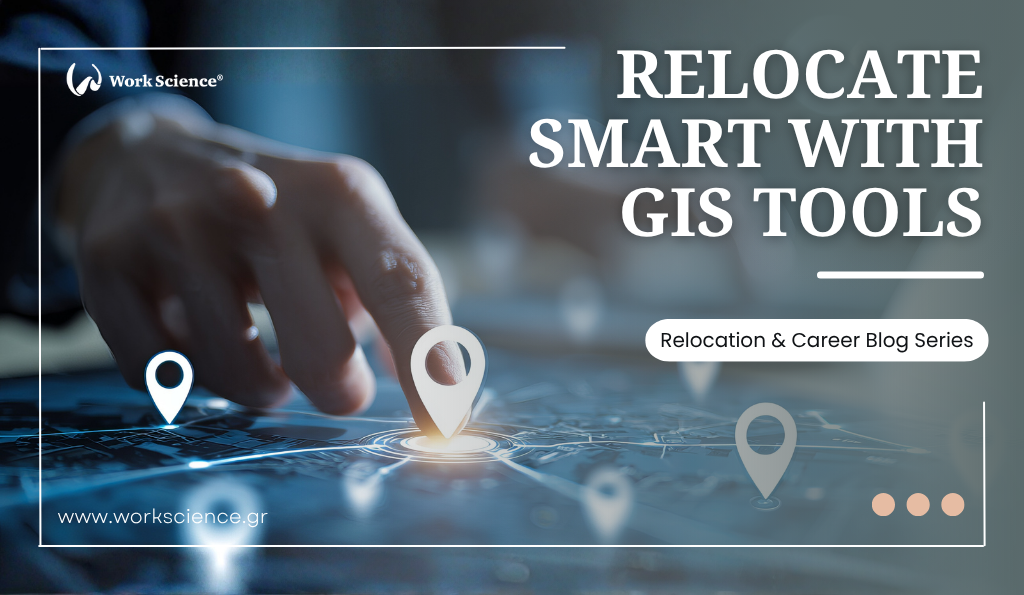
Relocating for work is a life-changing decision—one that involves more than just forwarding your mail and updating your LinkedIn profile. Successful career relocation is about choosing not only the right job, but also the best possible new home base for your needs, lifestyle, and long-term goals. Today, a growing set of digital tools and geographic information systems (GIS) can help you make smarter, data-driven decisions about where to move and how to settle in. Here’s how these tools can empower your relocation journey.
Disclaimer: Please note that the content of this article is for informational purposes only and not intended to serve as personal career counselling. While our team comprises certified career counsellors, the insights presented are generalised and may not apply to every individual’s unique circumstances. We encourage you to seek personalised career counselling for advice tailored to your own situation.
1. Understanding the Power of Geographic Information
Geographic information systems (GIS) and online mapping platforms collect, analyse, and visualise data related to location. For relocators, this means you can now access interactive maps that show not just physical landscapes, but also layers of valuable information—ranging from job markets and salaries to transport networks, crime rates and cost of living statistics. Instead of guessing what living in Berlin, Singapore, or Toronto will be like, you can make informed choices with just a few clicks.
2. Researching Job Markets and Professional Hubs
Platforms like LinkedIn, Glassdoor and Indeed now let you filter opportunities by city, region and even neighborhood. Many major cities also provide employment dashboards and economic development maps showing growth industries, average salaries and employment trends in each district. GIS-based government and municipal sites often feature labor market maps that show where your skills are most in demand—a valuable tool for planning your move.
Tip: Look for data on commuter flows, business clusters, and local networking opportunities when evaluating potential cities.
3. Analysing Cost of Living and Quality of Life
Before making your move, it is crucial to understand how local expenses will impact your salary or savings. Tools like Numbeo, Expatistan and Teleport aggregate public data on rent, groceries, transportation and utilities, often displaying them on interactive maps. Many let you create side-by-side comparisons between your current home and potential destinations.
Beyond expenses, platforms like Teleport, Niche and Livability rate cities by quality of life factors—such as weather, healthcare access, safety, schools, culture and more. Some GIS services allow you to customise priorities for your personal situation, helping you pinpoint the city or neighborhood that best suits your needs.
4. Exploring Housing Markets and Neighbourhoods
Finding a comfortable and affordable place to live is vital. Real estate sites like Zillow, Trulia, Idealista and Rightmove use interactive maps to show housing availability, price trends, school ratings and amenities. Some integrate GIS features that highlight flood zones, commute times, and public transportation routes, helping you avoid inconvenient surprises after your arrival.
Tip: Take advantage of street view options to virtually “walk” neighborhoods, scout for parks, cafes, and shops, and gauge overall atmosphere.
5. Navigating Transport and Commute Options
Mapping tools such as Google Maps, Citymapper and Moovit provide real-time data on public transit, traffic patterns and ride-sharing options. Cities’ GIS portals also often include bike lanes, pedestrian routes, and accessibility features, allowing you to anticipate your daily commute and maximize work-life balance.
6. Connecting with Local Communities
GIS-based community platforms and expat forums, including InterNations and MeetUp, use location data to connect newcomers with established locals and groups based on shared interests, language, or profession. These tools can help you build a social network and access resources such as language classes, job fairs and relocation counselling.
Conclusion
Career relocation is a big leap—but with digital mapping and geographic information tools at your side, you no longer have to leap in the dark. Use these platforms to research, compare and prepare, making your transition as informed and smooth as possible. Data-driven relocation is smart relocation—and it could make the difference between simply moving and truly thriving in your new home.

